


The Economist declared that data was the world’s new most valuable resource in 2017. In 2014, a team of top scientists from Los Alamos National Laboratory (LANL) founded Descartes Labs to refine that resource. They were astrophysicists and cosmologists who were used to dealing with vast quantities of image data. They used their knowledge of Machine Learning to start building the tools to refine data satellite images to gain insights. The company began its journey by predicting crop yields; today, it provides data-driven forecasting models in Agriculture, Forestry, Government & Defense, Insurance, Energy, Manufacturing, Finance, and Transportation.
Descartes Labs is a Geospatial Analytics firm which uses Machine Learning to process satellite images. Satellite images and Machine Learning have both become more accessible in the last decade. The sheer volume of data in a satellite image, however, requires considerable computing power to process. Descartes Labs and its competitor Orbital Insight are building complex data refining platforms which combine satellite images and other data to deliver useful insights to governments and companies.
Descartes Labs’ corny beginnings
Mark Johnson, Co-Founder and CEO said in an interview with TechCrunch that he saw an opportunity in developing satellite software, as hardware development was already being well funded. Another Co-Founder and company CTO, Steve Brumby, was the one who came up with the original idea. He joined LANL in 1998, moving to the US from Australia because the latter didn’t have a space program. He co-invented GENIE, an image-analysis software, while working at the laboratory. By 2014, he saw how Google and Facebook were moving to avail the opportunity such technology offered. He was introduced to serial entrepreneur Johnson by a Santa Fe VC, and they became the CEO and CTO respectively.
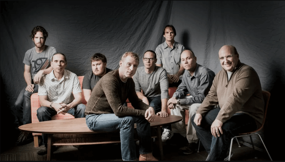
The Descartes Labs team recreating the ‘Traitorous 8’ of 1960s Silicon Valley. Picture Credit: Fast Company (https://bit.ly/2Cxhi0Q)
Descartes Labs originally worked out of Los Alamos, and 6 out of 9 of the initial team were former staffers at LANL. LANL had already invested around $15M into the technology, giving the company a head start in the emerging field. Other companies looked at applying this image refining technology to social media and user-generated content, such as Ditto Labs. Johnson and Brumby chose differently and started evaluating satellite imagery. They focused on natural resources, and were soon identified as an AgroTech startup, predicting agricultural production. When their prediction for US corn yields was seen to be more accurate than the US Department of Agriculture in the second half of 2015, it generated a lot of interest from big companies in the industry.
Initial funding and growth
Descartes Labs got covered by Bloomberg and Wired, and raised $5M in late 2015. This was in addition to the $3.3M the company raised earlier in the year, just as they had been leaving LANL. By the end of 2015, the company had raised over $8M across its Seed and Series A rounds. Investors were drawn by the maturity of the technology, the strong credentials of the team, as well as their ability to give the Department of Agriculture a run for their money. Their ability to predict crop production was only the tip of the iceberg when it came to their commercial potential, and it was already being sought after to make the trillion-dollar agricultural industry more efficient. Traders, seed producers, governments, and all private and public organizations dealing with food security saw value.
Descartes Labs was now focused on building a ‘living and breathing atlas of the world‘, in part to visualize, identify, track, and inform engagement against long-term threats to human development such as resource depletion and global climate change. The company had been using images from a combination of different public and private satellites to create maps and time lapse videos to show changes and measure trends.
The company had also been evolving its technology, helping its systems learn how to track spectral information which was invisible to the human eye to measure chlorophyll levels and distinguish between different crops. They were also now studying Brazil, Argentina, the Black Sea region, China, and the EU. For more satellite data, they had begun working with Planet Labs, which was launching 200 toaster-sized satellites for imaging.
Santa Fe, Descartes Labs, and recognition
Mayor Javier Gonzales of Santa Fe had built infrastructure to attract startups, and had been actively pursuing Descartes Labs. He mentioned the company in his February 2016 State of the City address as the type of company he wanted to attract to the town. Gonzales had flipped the switch on a $1M project to bring 1 gigabit per second speeds near the city’s downtown district, where has was hoping to get Descartes Labs and others to set up shop.
By the end of 2016, the company had been identified by CB Insights as a game-changing startup, as a leading ‘Forecaster’. In February 2017, the company had started its Santa Fe office, and had also built 3.1 trillion pixel composite images of the world’s surface using NASA and ESA satellite imagery. Armed with this visual data, the company next used its Machine Learning systems to help computers identify and index common visual elements and find them across nations, continents, and the whole planet. It launched this GeoVisual Search in March 2017, and was identified as one of the top 10 AI/Machine Learning global innovators by Fast Company.
GeoVisual Search was a public display of Descartes’ new competency – tracking everything that was changing on the planet’s surface as a kind of fitness tracker for Earth. By June 2017, the company was on the prestigious Inc 25 most disruptive companies of the year list. On the strength of these accolades and their constantly expanding competency and datasets, Descartes Labs had a $30M Series B in August. It also used its technology to help people track and assess damage from California’s wildfires in that year, as discussed by their Geographer Caitlin Kontgis. Descartes Labs also continued being a media darling, being one of Inc‘s 8 most innovative startups of 2017 and CB Insight‘s ai.100 for 2018. The unfortunate uptick in natural disasters in 2017 gave the company something to track and evaluate as they entered 2018.
Leaving Beta and new applications
Descartes Labs living atlas of the world was now finding new uses – including tracking and monitoring China’s solar power boom from space, measuring the growth of giant urban agglomerations such as Los Angeles and Beijing, and even tracking the spread of infectious diseases in Brazil. It also made the Wall Street Journal‘s ‘Top 25 Tech Companies to Watch 2018’ list.
In July 2018, the company released a Twitter Bot ‘@WildfireSignal‘ to help people visualize and track wildfires. Kontgin helped the company’s systems learn how to track rice production across South East Asia, even as Descartes Labs tied up with Airbus to use the latter’s OneAtlas catalog. The images in the OneAtlas catalog collected by AirBus had 15 times the per-pixel resolution of images from NASA’s Landsat and ESA’s Sentinel, adding richness and a new level of detail to the imaging data Descartes Labs was looking to refine. The company also added non-satellite weather data to its platform, using the National Oceanic and Atmospheric Administration’s datasets to help model weather on its platform.
A month later, Descartes Labs announced that its platform was now out of beta. The team was now pulling in over 100 terabytes of data daily. Its infrastructure, which mostly runs on the Google Cloud Platform, had processed over 11 petabytes (11000 terabytes) of compressed data. In September 2018, Descartes Labs tied up with Defense Advanced Research Projects Agency for $7.2M to add its functionality to the Pentagon’s arsenal. The company also developed a partnership with Cargill, continuing to deliver massive value in forecasting crop yields.
But the true impact of Descartes Labs is impossible to measure, as there is so much potential yet to be completely harnessed. Aidan Swope, a CalTech student and an intern, wrote an algorithm on the Descartes Labs platform to count the number of trees in a city. It took teams of arborists a year to map the trees of San Francisco and two years to map the trees of New York. Swope’s algorithm used AI and satellite images to accomplish the same outcome with greater accuracy in just a few hours. Descartes Labs then focused on this use case, refining the algorithm and running it on various publicly available datasets to run a tree census on 2000 cities.
According to Descartes Labs’ Chief Marketing Officer Julie Crabill, the company is planning to speak to city planners, businesses, and nonprofits about implementing their technology to accomplish a tree census. Keeping track of and being able to measure the urban canopy has immense potential benefits. The future for a technology such as Descartes Labs is figuring out all these various applications of their technology, since intern projects have the potential to turn into lucrative verticals which can save a year’s worth of human effort.
Subscribe to our newsletter
